Visionary Intelligence with elevated accuracy
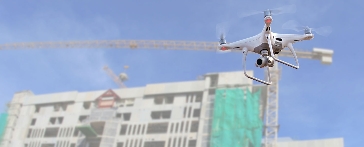
Drones excel at rapidly acquiring data from vantage points inaccessible to humans. Drones make it no longer necessary for human operators to physically access and measure points in hazardous or difficult-to-reach locations.
With their ability to capture data from above, drones have been successfully integrated into surveying workflows to perform land surveys, Building surveys, photogrammetry, 3D mapping, progress monitoring, and more.
All ICS pilots fully comply with CAA regulations.
Large scale topographical surveys and land mapping.
ICS offers Drone Topographical Surveying where an accurate 3D representation of an area is required including all natural and man-made features.Using our DJI Phantom 4 RTK we will capture the information, process it and present your topographical survey in a format to match your requirements. This service can provide cost effective solutions to topographical surveys and uses photogrammetry to provide accurate 3D models.
Once the data is captured, we will supply it in your chosen format. Our experienced team of AutoCAD Technicians can create CAD drawings or 3D models of the flight area of the drone, or we can simply capture and provide the raw point cloud data files.
Site Progress monitoring
Drones offer a very practical and cost effective solution to automate visual site documentation throughout the life cycle of a project. ICS can plan automated drone photo flights from a desktop or mobile device, capture multiple points of interest on your site, and generate professional progress reports to share with customers and stakeholders in minutes.
All our site progress monitoring reports and photos can be shared with you using hard drives or alternatively can be stored in the cloud for you to access from anywhere. This service gives clients peace of mind knowing progress is being captured, monitored, and stored to allow them to continue with the work on the ground.
Building /Roof surveys
Drones have made the process of inspecting hard to reach places not only easier but also much safer, not to mention a lot more cost effective. We have worked on numerous jobs, that got quotes for scaffolding alone in thousands of pounds, where we can perform a full building inspection for a fraction of the cost.
Using Drones for building and roof inspections is extremely cost effective and safer as nobody needs to scale any heights. The data can be shared with the client in the form of a 3D model via the cloud in easy to use interface.
