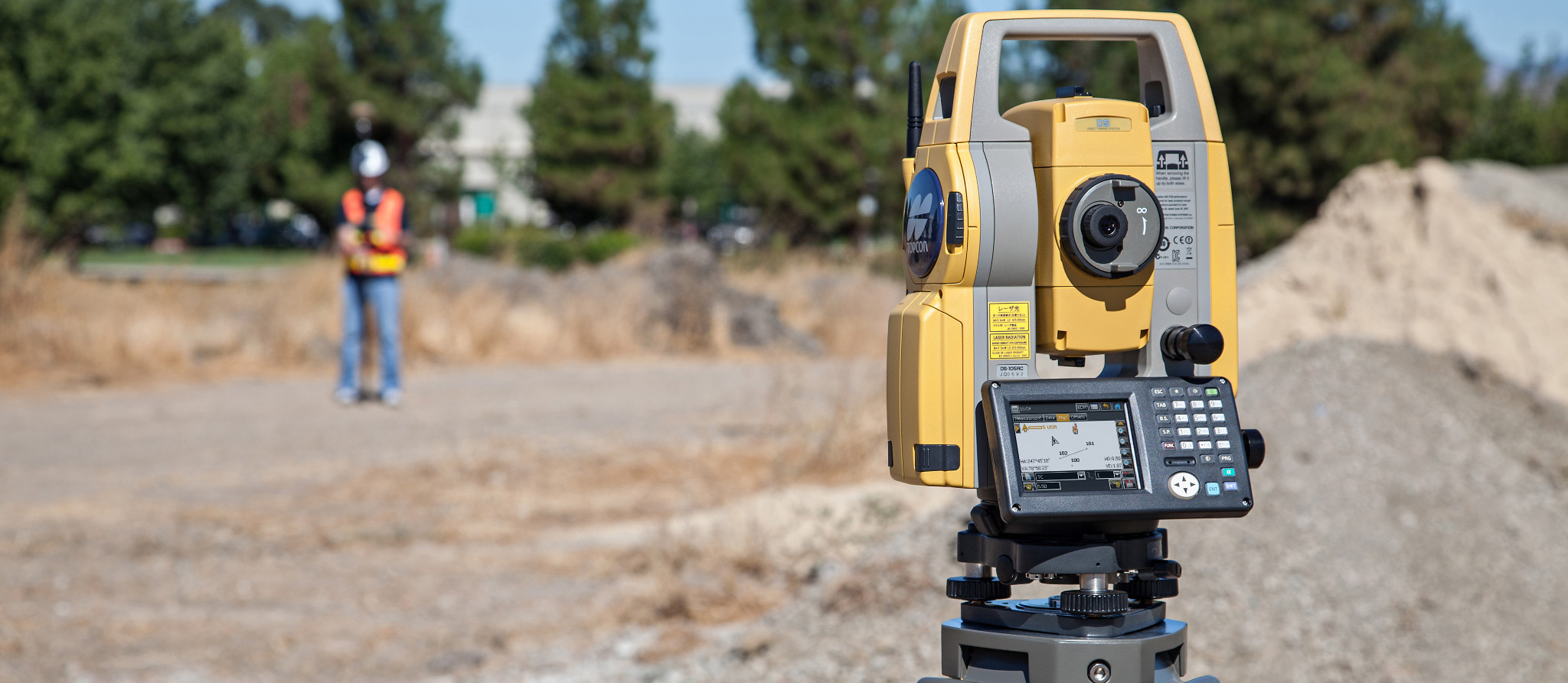
At ICS our roots are firmly found in the Land Survey industry, we have over 15 years experience completing a large variety of Land and Building Surveys for clients in differing sectors.
Topographical Surveys
A topographic survey, or land survey as they are also known, is an accurate measurement and recording of a site’s physical features. They capture the levels across the survey area, and the features within it.
ICS uses specialised instruments to collect locational data during the survey, a post-survey analysis of the data is then carried out and drawings are produced that reflect the results. Drawings are drawn to scale and can be provided in a number of different formats, the most common being DWG and PDF.
Boundary surveys
A boundary survey can be carried out using topographic survey methods to capture the exact measurements of a boundary. This can often be different than the actual boundary (which is sometimes recorded with the Land Registry) due to a number of factors.
To assist with establishing a boundary, ICS carry out a topographic survey of the plot, including the footprint of the property, and then overlay the recorded boundary from the Land Registry Title.
ICS can then give you an opinion on where the boundary sits in relation to that drawing. The accuracy of the results however can be a little subjective due to the scale of the drawings often recorded with the Land Registry, unless they hold dimensional detail of your boundary.
As Built Surveys
With there being so many specialist trades on site it is important for the Principal Contractor to carry out dimensional checks. ICS offers a non bias approach to reporting the facts. Results are compared to the design information and reported clearly as AutoCAD drawings. More often than not, deviations from design can occur as a project races to completion, these costly errors never contribute positively to a successful project. Our team at ICS believe our as-built surveys are an insurance policy the construction manager cannot do without.
